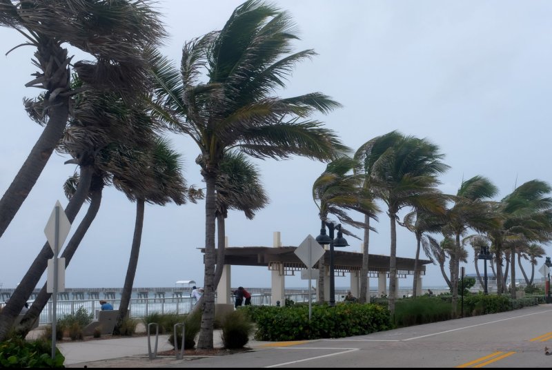
1 of 5 | Meteorologists say the feature with the greatest potential for development is a wave that moved off the coast of Africa on Thursday, and has a 70% chance at development as it moves west. File Photo by Gary Rothstein/UPI |
License Photo
Aug. 6 -- The Atlantic has been in the midsummer doldrums -- a typically quiet period in tropical activity during mid- to late July -- but forecasters say there are signs that the basin will soon come alive.
So far, only five named storms have developed in the Atlantic basin -- Ana, Bill, Claudette, Danny and Elsa. Only Elsa grew into hurricane strength.
By this time last year, there had been nine named storms, two of which were hurricanes.
AccuWeather forecasters, however, say at least one new tropical feature has a significant chance of developing into a named storm next week.
"We have been seeing a decline in the extent of dry air and dust over the zone from Africa to the Caribbean this week," AccuWeather Senior Meteorologist Rob Miller said, noting that these are signals that the basin could become more active in the coming days.
Dry air, dust and shifting winds at different levels of the atmosphere, known as wind shear, can deter and prevent tropical development in many cases. These factors are often prevalent during July over the Atlantic basin.
Most of the Atlantic is often free from fronts, which can be the focal point for development earlier in the season, during July and the start of August. So, with no fronts, dry air, dust and high wind shear present, July often brings a quiet period for tropical activity over the basin.
"If wind shear were to drop off a bit more, there is a chance of some development of tropical waves crossing and emerging from Africa over the next week," Miller said.
AccuWeather meteorologists say the feature with the greatest potential for development is a wave that moved off the coast of Africa on Thursday. It has a 70% chance at gradual development as it moves westward into next week, provided wind shear diminishes and the system avoids dry air and dust.
"The immediate environment will be sufficiently moist [for development] over the next few days," AccuWeather Meteorologist Randy Adkins explained, adding that drier air will become an increasing factor early next week as the system moves to the west-northwest across the central Atlantic.
Water temperatures are largely supportive for development and will not inhibit development of this feature through next week. A critical threshold of around 80 degrees Fahrenheit is needed to sustain tropical storms.
![]()
This image, captured on Thursday, shows some moisture and clouds (white) gathering from the central Atlantic to the coast of Africa to the right. Dry air was still extensive from the Caribbean (left) to the western part of the tropical Atlantic. Image courtesy CIRA/Colorado State/GOES-East
Another weaker tropical wave, which emerged ahead of the one near Africa, will also be monitored closely in the coming days. That will especially be the case early next week as it nears the Lesser Antilles. The feature will interact with a non-tropical system in the area, Adkins said.
"Wind shear will be the primary limiting factor of this weaker wave with intrusions of drier air likely to hamper development as well."
Closer to U.S. shores, AccuWeather meteorologists will also keep an eye on a frontal boundary along the East Coast late this weekend and early next week.
"It is not completely out of the question for a non-tropical storm system to acquire tropical characteristics should it break from the frontal boundary," Adkins said, noting that winds would need to weaken for further development to take place.
The next two names on the list for the 2021 Atlantic hurricane season are Fred and Grace.
The tropical waves that emerge from Africa form the backbone of tropical development in the Atlantic from late August through September and into early October.
During an average hurricane season, there are typically at least a handful of direct threats and other close calls in terms of impact on the Atlantic Seaboard, and this year may be no exception.
Early in the season, it has shown some vigor by running well ahead of average pace through July and experts say even though the Atlantic has been silent in recent weeks, the numbers are still well above average pace.
An uptick in tropical storms and hurricanes tends to begin during the middle and latter part of July. By mid-August, there are typically only three named systems and just one of them is usually a hurricane, according to the National Hurricane Center.
The Atlantic has remained quiet since Hurricane Elsa dissipated on July 9. Despite the typical doldrums in the tropical Atlantic during July, the basin achieved a feat that hasn't occurred since 2009 -- the last year that a storm was not named between July 10 and Aug. 3, according to Colorado State University meteorologist Philip Klotzbach.
By Labor Day, it's common for there to be one or more named systems churning in the Atlantic basin.
AccuWeather's team of hurricane experts have projected a total of seven to 10 hurricanes this season, with five to seven direct impacts somewhere in the Eastern United States The outlook includes one or more storms moving northward along the Atlantic coast as the season progresses.
Earlier this week, the National Oceanographic and Atmospheric Administration revised its 2021 Atlantic outlook to include one more hurricane than originally projected.
The NOAA said before the season began that it expected between 13 and 20 named storms. In its update, it raised that forecast to between 15 and 21 named systems.
Pedestrians take photos of and enjoy the snow covered trees in Central Park
after a winter storm in New York City on January 7, 2022. Photo by John Angelillo/UPI |
License Photo


