Advertisement

Ida weakens to tropical depression over Mississippi

By UPI Staff & AccuWeather
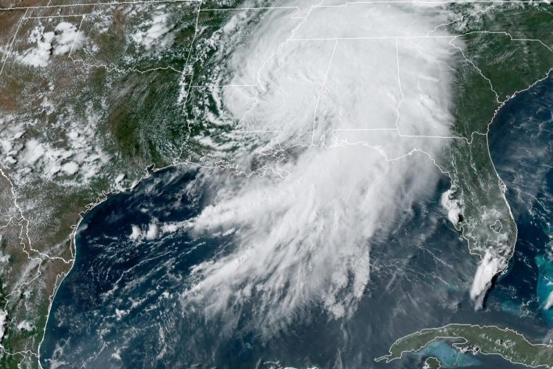
Ida, which made landfall Sunday as a Category 4 storm, weakened to a tropical depression Monday. Photo courtesy NOAA

Aug. 31 (UPI) -- Ida weakened to a tropical depression over Mississippi Monday after battering southern Louisiana a day earlier on the 16th anniversary of the arrival of Hurricane Katrina, forecasters said.

In a 10 p.m. CDT update, the National Hurricane Center said Ida had maximum sustained winds of 35 mph, and was located 80 miles north-northwest of Jackson, Miss., while moving northeast at 10 mph.
Advertisement

Early morning Sunday, Ida strengthened from a Category 2 to a Category 4 within two hours. By late Sunday, it was back to a Category 2 and by Monday it was a Category 1 storm and then a tropical storm.

Despite the drop in strength, the NHC said heavy rain and flood threats will continue to spread across parts of the Tennessee and Ohio Valleys overnight and into Tuesday.

"Flood and flash flood watches extend from the Gulf Coast region across the Tennessee and Ohio Valleys, central and southern Appalachians, into the northern Mid-Atlantic and southern New England," the forecaster said.

On the forecast track, the storm is projected to track across the Middle Tennessee Valley, Ohio Valley and Mid-Atlantic through Wednesday, it said.

Advertisement

"Little change in strength is forecast during the next 48 hours," the NHC said.

Ida is the fourth storm in the Atlantic basin this year to reach hurricane strength, after Elsa, Grace and Henri. Ana, Bill, Claudette, Danny and Fred maxed out at tropical storm strength. However, Ida would be only the second to become a major hurricane, after Grace.

Latest Headlines