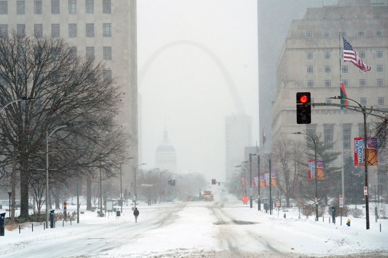
The Gateway Arch can barely be seen during a blinding snowstorm in St. Louis on Thursday. Photo by Bill Greenblatt/UPI |
License Photo
Rounds of quick-hitting snowstorms known as Alberta clippers will take aim at the Upper Midwest, Great Lakes and even the interior Northeast this week.
A clipper storm brought a couple of inches of snow to cities such as Grand Forks, N.D., as well as International Falls and Duluth, Minn., this past weekend. Snow piled up in the Arrowhead of Minnesota, with a foot of snow measured near Hovland and 10 inches in Grand Portage.
The next clipper AccuWeather meteorologists are monitoring is anticipated to arrive Tuesday night and last through Thursday as it progresses eastward and brings snow to nearly a dozen states across the Midwest and Northeast.
The snow is forecast to be relatively light across the Northeast and mainly in the form of snow showers, but a general 1-3 inches could fall from northern Ohio to western New York, with areas east of the Great Lakes expecting even more. Lake-effect snow will result in higher totals to portions of northwestern Michigan.
"After the recent major winter storm with widespread and long-lasting impacts, these brief, lighter events to come can be thought of as a reprieve of sorts," said AccuWeather meteorologist La Troy Thornton, referring to the storm that covered an area of more than 2,000 miles last week.
While these clippers are not expected to produce major accumulations, each storm could disrupt travel across the region. Motorists are advised to plan extra time to get to their destinations and travel with an emergency kit in case of breakdowns or traffic delays, forecasters say.
"Fortunately, these clipper systems appear likely to stay well to the north of the areas that received significant icing," said Thornton.
The major cities along Interstate 95 likely won't receive any precipitation from this clipper.
"This has been a fairly active winter and a break from the constant big storms should help to ease the 'winter fatigue' that some folks might be feeling," he said.
The region still won't be out of the woods yet when it comes to wintry weather this week, as another clipper is expected to arrive by the weekend.
"The storm track seems to favor these fast-moving, less powerful systems," Thornton said.
Even though many highly populated areas in the Northeast won't receive snow, these storms are expected to drag temperatures down about 3 to 7 degrees Fahrenheit below average across the Great Lakes, Ohio Valley and interior Northeast.
"As [these] fast-moving Alberta clippers race across the Great Lakes and New England this week, each passing storm will bring with it a reinforcing surge of cold air into the Upper Midwest and the Northeast with many locations remaining quite chilly this week," said AccuWeather senior meteorologist Michael LeSeney.
Rainfall and warmer weather brings a low fog to a snowy Central Park near the Bethesda Fountain and Terrace in New York City on February 3, 2022. Photo by John Angelillo/UPI |
License Photo


