Temperatures on Monday across the Plains will not disappoint those that favor the warmth, as locations such as Kansas City and St. Louis, Mo., Wichita, Kan., and Des Moine, Iowa, will all range in the lower to middle 70s. File Photo by Bill Greenblatt/UPI |
License Photo
Following rounds of wet, unsettled weather last week, the Midwest is about to experience some relief as it slips into an increasingly moderate weather pattern. High temperatures will range in the low to middle 70s for most by the end of the weekend.
"A building area of high pressure over the Plains later this weekend will bring a swing back to above-normal temperatures for the region, which will extend into next week," explained AccuWeather meteorologist Joseph Bauer.
In addition to above-normal temperatures, largely dry conditions and abundant sunshine will span across the Midwestern states. This shift will come as a relief to some Midwesterners, following the windy and chilly days that concluded the previous week.
After a strong cold front traversed through the Ohio Valley on Friday, dampening locations spanning from the Great Lakes to the Mississippi Valley as it pushed eastward, it left behind a burst of cool air in its wake.
Farther west, the National Weather Service even issued freeze warnings and frost advisories across multiple Central states Friday night, warning of near- and below-freezing overnight temperatures. On Friday night, the city of Bismarck, N.D., dropped to a brisk overnight temperature of 33 degrees Fahrenheit. Chilly enough to raise concern over sensitive outdoor plants, outdoor water pipes and sprinkler systems.
![]() |
| Freeze Warnings and Frost Advisories issued by the NWS Friday night across the Central U.S. |
Residents of Nebraska, Iowa, Minnesota, and the Dakotas will note more seasonable temperatures through Saturday. Cities such as Omaha, Neb., are forecast to reach a high temperature of 67, just 1 degree above normal for this time of year.
AccuWeather meteorologists caution that even though the daytime high temperatures will be above average and feeling mild, a reminder that the overnight lows can still bring the threat of a frost in some locations, particularly Saturday night.
Some cities near the Great Lakes will still feel the impact of cooler air on Saturday night, with low temperatures expected to drop an additional 10-20 degrees in comparison to Friday night.
By Sunday, however, temperatures are expected to soar 5-10 degrees higher than Saturday across Midwestern cities. Sioux Falls, S.D., is likely to jump an additional 8 degrees above the high temperature recorded on Saturday.
Conditions will be ripe for those looking to get a jump on outdoor projects and fall harvesting.
Sunday will be an excellent day to finish up any summer projects for those living across the central United States. I would say enjoy the outdoors if you can, there will be plenty of sunshine with temperatures around the 70s for many locations, stated Bauer.
A warm gusty breeze will accompany the above-average temperatures. Southwesterly winds will push into locations such as Omaha, Kansas City, Mo., and Chicago through the weekend. AccuWeather meteorologists expect winds ranging from 12-25 mph to extend into places such as the Windy City itself.
The start of next week will continue to bring a warm flow to the Midwest as high pressure continues to dominate the central United States, leaving some tempted to turn on the AC for a period of time.
Temperatures on Monday across the Plains will not disappoint those that favor the warmth, as locations such as Kansas City and St. Louis, Mo., Wichita, Kan., and Des Moine, Iowa, will all range in the lower to middle 70s.
Bauer explains, "Monday will be the day of most widespread warming, where much of the High Plains through the northern Plains will be 12-18 degrees Fahrenheit above normal."
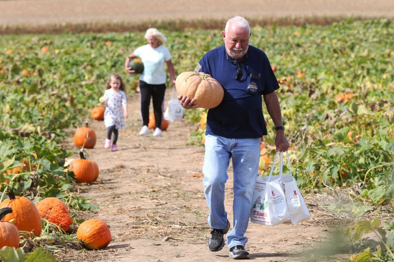
"This will make for excellent conditions to finish harvest work or plant winter crops or just making it to the local pumpkin patch."
Farmers across the Midwest are likely to get a jump on the fall harvest during this span of pleasant weather. According to the United States Department of Agriculture, roughly 34 of the nation's soybean harvest was complete by early October, which is 8 above average. Additionally, about 29 of the nation's corn acreage was harvested already, which is about 7 above average for this time of year.
By Tuesday, another pattern shift will take place across the Midwest as a southward dip the jet stream crosses over the Central states.
"A closed area of low pressure will emerge from the Rockies on Tuesday, bringing temperatures back down from west to east through the end of the workweek," said Bauer.
Residents can expect rainfall to expand across portions of the Dakotas and Nebraska by midweek.
Pedestrians take photos of and enjoy the snow covered trees in Central Park
after a winter storm in New York City on January 7, 2022. Photo by John Angelillo/UPI |
License Photo


