After gusts of chilly air passed through the Northeast on Friday, temperatures are expected to recover this weekend and soar into next week, accompanied by bands of showers and storms.
This past week has been a bit topsy-turvy for the Northeast, as temperatures soared midweek, with temperatures nearly 20 degrees Fahrenheit above average in some cities. New York City hit 85 F on Wednesday, even though the city usually sits in the mid-60s at the end of April. Also, Washington, D.C., approached a toasty 90 F.
Then, gusty winds blew chilly air into the region at the end of the week. Wind advisories, high wind warnings and gale warnings were in effect across much of the eastern portion of the mid-Atlantic on Friday.
 |
Dundalk, Maryland, measured its highest wind gust of the day at 66 mph. Farther north, Jersey City, N.J., gusted to 65 mph just before 6 p.m., according to the National Weather Office of New York.
Related
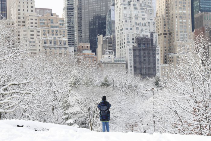
The Big Apple gusted to 60 mph Friday afternoon, then its temperature dipped sharply downwards into the lower 40s early Saturday morning.
Fortunately for gardeners and plant-enthusiasts, breezy conditions kept frost from damaging plants in most areas east of Washington, D.C., though this cold influx will put a dent in temperatures Saturday.
Philadelphia and New York City are expected to only reach into the 60s on Saturday, their first day with a high below 70 since early week.
 |
Temperatures are expected to bounce back yet again though, rising throughout the weekend and into early next week.
As the storm and front that brought these blustery conditions to the Northeast depart off the Atlantic coast Saturday, winds will ease somewhat, according to AccuWeather long-range meteorologists.
Conditions will largely dry out as high pressure sinks from the Midwest into the mid-Atlantic.
"Sunday will be the mildest day of the weekend across the Northeast, but it won't be a dry day for everyone to get out and enjoy the warmth," said AccuWeather meteorologist Renee Duff.
 |
"A narrow band of showers is expected to stretch from western New York to southeastern New England, which can put a damper on any outdoor plans," Duff said.
Showers can stretch from the Great Lakes through southern New York and northern Pennsylvania into northern New Jersey, Massachusetts, Connecticut and Rhode Island.
"While temperatures will be held down in the zone of clouds and showers, just to the south where the sun will be shining, highs are expected to soar close to 80 in Pittsburgh and the mid-80s in Baltimore and Washington, D.C., on Sunday afternoon," Duff said.
"A storm system is forecast to bring more widespread wet weather to the region by Monday, though this will be good news for areas from western Pennsylvania into much of New York state and New England where abnormally dry to moderate drought conditions are prevalent," Duff added.
Showers will reach out ahead of the storm, falling on Pennsylvania, New York, New Jersey and even a small area of New England once again. Areas farther south can expect thunderstorms to mix in with showers, in cities like Washington, D.C., and Baltimore.
This will bring beneficial rain to cities like New York City, which only received 60 of its normal rainfall in April 2021. Unfortunately, these showers will tend to avoid the driest states of New England.
Over 50 of the Northeast is classified as "abnormally dry" by the United States Drought Monitor. While this is far from the intense drought situations underway in the Southwest and North Central, rain is welcome in states like Vermont, of which over 90 is in moderate drought. Even in New Hampshire, the entire state is abnormally dry and has over 40 in moderate drought.
"In between Monday's storm and a new system poised to sweep in later Tuesday, there may be just enough of a surge of warmth to push temperatures to record-challenging levels in places such as Richmond, Virginia, Washington, D.C., and Baltimore," Duff said.
 |
Washington, D.C., is forecast to approach 90 once again on Tuesday, which would land just 3 degrees below the 1928 record high. Forecasters predict Baltimore could reach 87 F and approach the 2018 record temperature of 91.
At the top of the record-challenging cities, Richmond is forecast to soar to 93 F, which would hop over the 1965 record on Tuesday by 1 degree. The River City generally has high temperatures topping off in the mid-70s in early May, and temperatures in the 90s are more common there in July.
Of course, this heat will not come without widespread showers again in several places in the Northeast on Tuesday, and the week is anticipated to remain a wet one. And another storm is on its way.
The same storm that will bring snow to the Rockies and severe weather to the southern Plains this weekend will likely be centered across the Ohio Valley late next week, say long-range meteorologists.
This storm will head eastward towards the Atlantic Coast Wednesday night into early Thursday, say meteorologists. There will likely be a quick-hitting round of showers and storms on the eastern side of the Appalachian Mountains.