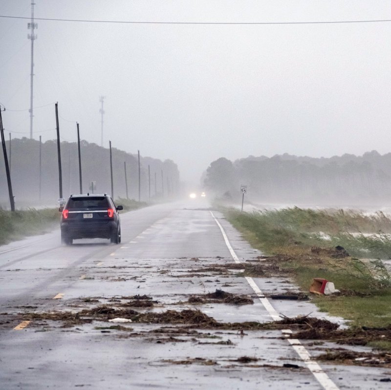
A car drives by crashing waves as Hurric/DAN ANDERSOane Sally approaches in Alabama Port, Ala., in September 2020. Residents of Central and Southern states should keep a close eye on violent conditions. Photo by Dan Anderson
March 7 (UPI) -- Following some trying times for millions of people in the central United States due to record-setting cold, snow and ice during February, the weather has greatly eased up in intensity in recent days. The tranquil and warmer conditions that have settled in are forecast to last into the first part of the upcoming week, according to AccuWeather meteorologists. However, AccuWeather forecasters warn that residents of Central and Southern states should keep a close eye on the weather forecast in the coming days as potentially tumultuous changes can be on the way.
March is notorious for being a time of volatile weather conditions, as the month usually marks an uptick in severe weather across central and southern regions of the nation, and AccuWeather meteorologists are closely monitoring a developing weather pattern and the potential for severe weather over the Central states this week.
"This is a situation that may be different from day to day, but overall, there are likely to be at least pockets of severe thunderstorms that may erupt in some locations from the southern Plains to the Midwest from late Wednesday to Friday," AccuWeather Chief On-Air Meteorologist Bernie Rayno said. Some areas could face more than one day of troublesome and potentially damaging weather conditions.
A series of weaker storms will press across the central U.S. and trigger episodes of severe weather from one day to the next. AccuWeather forecasters are still studying scenarios and monitoring developing conditions in an effort to pinpoint precisely where the greatest potential for one or more rounds of hard-hitting weather will exist as the weather pattern unfolds.
AccuWeather meteorologists say the zone from Texas to portions of Iowa, Illinois, Indiana and Ohio is the most likely corridor for one or more rounds of heavy, gusty and potentially severe thunderstorms during the middle to latter part of the week.
"The overall setup does not look as potent as we sometimes see in March," AccuWeather Senior Meteorologist Dan Pydynowski said, adding that it still has forecasters keeping a close eye on the situation.
Winds associated with the weather system -- even outside of thunderstorms -- can become quite gusty in the zone of warm air that will sprawl from Texas to Michigan during the early and middle parts of this week. Wind speeds of 12-25 mph and gusts frequenting 30-40 mph are anticipated. Gusty winds could even reach portions of Pennsylvania and western New York as the week progresses.
Since the boundary between warmer air to the south and cooler air to the north along with the storm track may shift a bit from day to day across the same general area for several days in a row, repeated downpours could occur and increase the risk of flooding in affected communities.
"All facets of severe weather are possible with this setup ranging from flash flooding and large hail to strong straight-line wind gusts and even the risk of a few tornadoes," Rayno said.
"We will know more about the nature and coverage of the storms each day as we get closer to the event," Rayno added.
In addition to the threat for rounds of severe weather from late Wednesday to Friday evening, AccuWeather meteorologists will be watching for yet another round of storms that could roll eastward during next weekend.
"It looks like a storm in the upper atmosphere may linger through the latter half of the week over the Southwest states and we have to watch when that system gets ejected eastward for the potential for a bigger outbreak of severe weather in parts of Texas, Louisiana, Arkansas and Oklahoma," Rayno said.
People in the Central and Southern states may want to review their severe weather plans this weekend since the potential exists for the first large-scale threat of the season.
The year is off to a slow start in terms of severe weather compared to the last decade and beyond. Only 24 tornadoes have been confirmed by the National Weather Service's Storm Prediction Center from Jan. 1 to March 1 in 2021. That figure - although still a preliminary tornado count - is the lowest number of tornadoes compared to the past 16 years, according to the SPC.
Transitioning from the winter season to the severe weather season can be an adjustment in any year, but especially so for this upcoming spring due to the cold, snow and ice that wreaked havoc across the South Central states during the middle of February. AccuWeather estimates that damage and economic losses related to winter weather across the United States in February will approach $155 billion.
The severe weather season, which extends into August, typically begins to ramp up in March. On average, May produces the greatest number of tornadoes across the nation, according to the National Climatic Data Center.
Texas typically experiences the greatest number of tornadoes of any state during March, as well as annually, based on data from NCDC. This is not only due to the state's large size compared to others in the Lower 48 states, but the Lone Star State is in a portion of the nation where ingredients often come together for severe weather.
Warm, moist air from the Gulf of Mexico often collides with dry air from the Southwest deserts across Texas, and that is a recipe for dangerous weather conditions to erupt.


