Advertisement

Isaias enters Canada as post-tropical cyclone

By UPI Staff & Alex Sosnowski, Accuweather.com
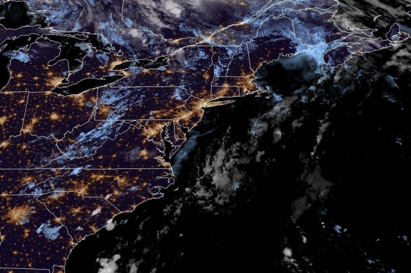
Isaias was downgraded to a post-tropical cyclone as it moved into Canada Tuesday night. Photo courtesy of NOAA

Aug. 5 (UPI) -- Isaias made its way into southeastern Canada after being downgraded to a post-tropical cyclone on Tuesday night.

The epicenter of the post-tropical cyclone was about 55 miles north-northwest of Quebec City, Quebec, in Canada, the National Hurricane Center said in its 5 a.m. Wednesday update.
Advertisement

The storm was traveling north-northeast at 28 mph but its speed was expected to decrease and its maximum sustained winds of 40 mph with higher gusts was to weaken and drop below tropical storm force through Wednesday morning, the NHC said.

"The post-tropical cyclone is expected to dissipate over southeastern Canada on Thursday," the NHC said.

Forecasters said one to three inches of rain should fall along and near Isaias' track across southern Quebec.

Hurricane-force wind gusts were reported Monday night as the eyewall went ashore in Ocean Isle Beach, N.C., with the highest gust reported over land at 93 mph. As the hurricane approached, the system spawned a tornado that touched down on Bald Head Island, N.C.

All told, Isaias is predicted to cause between $2 billion and $3 billion in damages and economic loss, according to AccuWeather founder and CEO Joel N. Myers.

Advertisement

One of the main threats for the areas from Virginia to Maine was from torrential rain that can lead to flash, urban and small-stream flooding.

Following its impact on the U.S., Isaias is forecast to spread a swath of rain and gusty winds rapidly through a portion of Atlantic Canada Wednesday into Thursday.

The 2020 Atlantic hurricane season has already left its mark in history with several of the earliest-forming tropical storms on record. Cristobal, Edouard, Fay, Gonzalo, Hanna and Isaias all set early-season formation records for their respective letter. All of the July-forming storms from Edouard through Isaias broke the records set during the infamous 2005 season.

Hanna became the first hurricane of the 2020 season, and Isaias became the second.

There is a high potential that the 2020 season could become "hyperactive" as the peak of hurricane season nears and tropical storm numbers may end up rivaling the historic 2005 season numbers, which produced 28 storms. AccuWeather meteorologists are already monitoring a few areas of disturbed weather beyond Isaias.

Latest Headlines