May 24 (UPI) -- After damaging storms blew through portions of the Plains on Friday, the threat for more severe weather will persist over the area through the weekend.
Late Friday afternoon, severe thunderstorms fired up from Texas to Oklahoma and Arkansas. These storms produced hail, some of it more than 2 inches in diameter, and damaging winds across all three states.
According to the Storm Prediction Center, there were also four reports of tornadoes associated with these storms, three of which occurred in north-central Texas, and the other which occurred in southeastern Oklahoma.
An additional tornado was reported in extreme southeastern Nebraska, as a result of another cluster of storms.
Areas impacted by severe thunderstorms on Friday did not get much of a breather before severe weather ramped up again on Saturday and expanded to cover a much larger portion of the central United States.
The severe threat on Saturday developed in three sections. With each section likely to experience slightly differing threats.
The first area of severe weather developed from western Oklahoma through western Texas on Saturday afternoon and continued through the overnight hours.
Multiple reports of large hail emerged from Texas on Saturday evening. According to the SPC, hail upwards of 3 inches in diameter developed and smashed multiple car windshields in Silverton, Texas.
Dozens of additional hail reports peppered western and central Texas, along with a handful of damaging wind reports. There was even one report of a tornado in Garza County, Texas.
By Saturday evening, severe weather had developed in a secondary area that encompassed the Dakotas and Nebraska. Storms blew through the area, prompting dozens of reports of damaging winds and hail. A station in Broken Bow, Neb., even recorded a wind gust of 86 mph.
Also by Saturday evening, a tertiary area of severe weather had developed, this time in the Midwest.
Saturday evening, tornadoes spread rapidly through Iowa, Illinois and Wisconsin, placing over 15 million at risk for tornadoes.
By Saturday evening 14 tornado reports were received by the Storm Prediction Center across eastern Iowa, northern Illinois and southern Wisconsin.
The rounds of heavy rain across the Midwest in recent weeks has left the soil across the area soggy and too saturated to have the capacity to deal with any heavier rainfall without prompting flash flooding conditions.
From May 14-17, Chicago O'Hare International Airport recorded 7.88 inches of rainfall, 214 percent of the average monthly rainfall for the entire month of May. The metro will be especially prone to flash flooding damage as many of the hardest-hit areas are still recovering after the last flooding event.
Sunday, the threat for severe thunderstorms will ramp up again over portions of the Plains. Areas from South Dakota and Minnesota, south to Oklahoma and Texas, will be drenched by storms from late Sunday through Sunday night.
The main threats with these storms will be torrential rainfall that can produce flash flooding. However, a few clusters of storms are expected to develop later on Sunday and can produce damaging winds and hail.
Cities including Sioux Falls, S.D.; Des Moines, Iowa; Wichita, Kan.; and Oklahoma City will all be at risk for flooding rainfall and severe thunderstorms on Sunday.
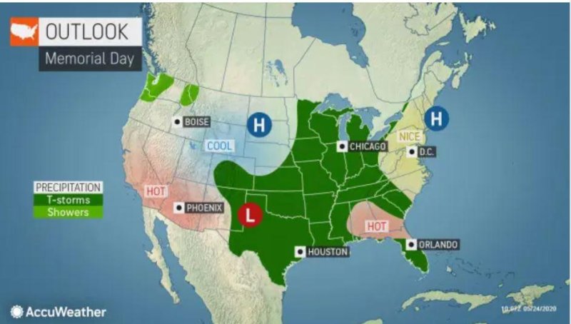
Unfortunately, residents across the central U.S. hoping for sunny and beautiful weather for their Memorial Day picnics and outdoor recreation will be disappointed.
Stormy weather will persist from the southern Plains to the Midwest on Monday, with many areas receiving rounds of showers and thunderstorms.