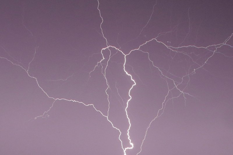
A few pockets of heavy and gusty thunderstorms are likely to erupt over portions of the Plains, including central Texas, during Thursday afternoon and evening. File Photo by John Angelillo/UPI |
License Photo
Thunderstorms will threaten to bring severe weather as well as needed rainfall to portions of central and southern Texas before the end of the week.
A few pockets of heavy and gusty thunderstorms are likely to erupt over portions of the Plains, including central Texas, during Thursday afternoon and evening.
However, the main threat of more widespread severe weather in Texas will come on Friday. As storms erupt during the afternoon hours over the north-central and northeastern counties as well as the Hill Country northwest of San Antonio, Texas, the main threats will be high wind gusts and large hail on Friday.
"Winds, with gusts to near 70 mph in some cases, can be strong enough to cause localized property damage, knock down trees and trigger power outages," Brett Anderson, an AccuWeather forecaster, said.
"Hail can become large enough to damage vehicles and break windows in the strongest storms," Anderson added. The hail can be propelled by the strong winds in extreme cases.
As with any severe thunderstorm, there is a remote chance of an isolated tornado, but an outbreak is not expected.
The storms forecast for the region on Friday can also bring beneficial rain to some communities, but also flash flooding to others. Rainfall will depend on the intensity, location and duration of thunderstorms that erupt and then move southward.
Rainfall is often erratic with thunderstorms, but an AccuWeather Local StormMax of 3 inches is possible where storms focus, linger or repeat.
Soil conditions range from wet in north-central Texas to abnormally dry farther to the south and east, and extreme drought conditions are gripping the lower Rio Grande Valley.
Rainfall in Dallas has been plentiful, or nearly twice that of average during March. Meanwhile, rainfall in Brownsville, Texas, has only been 6% of normal for the month with a mere 0.07 of an inch.
The storms will tend to concentrate on the north-central part of the Lone Star State during the afternoon hours, but as the evening transitions into the nighttime, the storms will move toward the lower Rio Grande Valley and the South Texas coast, where they may weaken.
Downpours can flood streets and highways, as well as cause normally dry or gentle streams to become raging torrents for a brief time. Meteorologists advice motorists to avoid driving across flooded roadways or attempting to travel through low-water crossings when storms are in the vicinity or have recently moved by.
Showers, thunderstorms and perhaps localized severe weather will continue to pester central and southeastern Texas this weekend.
Additional heavy rainfall is likely as well as the risk of isolated flash flooding and damaging storms.


