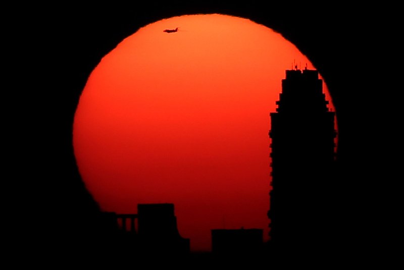
Some rain will help keep temperatures from hitting extreme levels in the northern United States this weekend. File Photo by John Angelillo/UPI |
License Photo
July 18 -- The southeastern United States will endure drenching and locally damaging thunderstorms erupting daily into the weekend - but, this is not bad news for all.
While the storms will bring potential flooding dangers and could disrupt outdoor plans, they will help to keep temperatures from hitting the extreme levels that areas farther north will experience into this weekend.
Thunderstorms are no stranger to the Southeastern states during the summertime, especially during the hottest times of the afternoon.
![Thursday Tstorms]()
However, the storms into the weekend are expected to be heavier and more numerous than typical summertime garden-variety thunderstorms.
A storm system in the upper levels of the atmosphere is to blame for the more active pattern.
This storm system is in a zone of weak winds; therefore, any storms that do develop will be slow-moving and could cause flash flooding, according to AccuWeather Meteorologist Ryan Adamson.
Rainfall rates could reach 1-2 inches per hour or more, which, even with pockets of abnormally dry to severe drought conditions ongoing, can overwhelm streets and poor drainage areas, creating flooding problems.
![Stormy this weekend]()
In addition to lightning and flood dangers, a few of the storms each day can produce damaging winds.
Atlanta; Montgomery and Birmingham, Ala.; Jackson, Miss.; and Nashville, Tenn., are communities where outdoor plans may be disrupted for a time. Visibility could be drastically reduced along sections of interstates 10, 20, 40, 55, 65, 75 and 85, while motorists traveling at highway speeds will face a heightened risk of hydroplaning.
"While many areas in the eastern half of the country will be in the 90s to even near 100 degrees Fahrenheit, temperatures may only peak in the upper 80s in parts of the Deep South thanks to the additional cloud cover," Adamson said.
Areas that get missed by the downpours or where storms hold off until later in the day can still have temperatures surging to average in the 90s.
![Weekend outlook]()
On Sunday, drier air may wedge in just enough to keep a corridor from Georgia to North Carolina generally rain-free. However, downpours will continue to pester areas farther north and west as the weekend comes to a close.
A cold front expected to put an end to the building heat and humidity in the Northeast will return downpours to the entire Southeast early next week.
AccuWeather meteorologists will be closely monitoring the potential for this front to stall along the Gulf coast next week, a scenario that would lead to an even greater flood risk.


