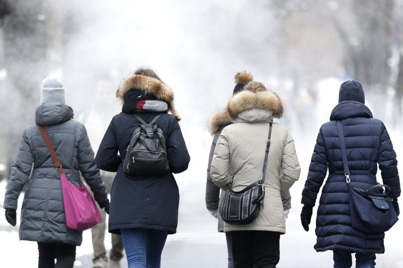
1 of 2 | Pedestrians dressed for cold weather walk near Central Park in New York City on Monday. Photo by John Angelillo/UPI |
License Photo
March 5 (UPI) -- Forecasters say parts of the United States will face arctic cold Tuesday in a March that's so far been marked by unusually low temperatures.
Another cold blast is sweeping into California this week, bringing more heavy rain in a system that will deliver more harsh weather to the rest of the nation in the coming days. Forecasters said the storm will likely bring mudslides and floods along the West Coast caused by the rain. The strongest storms are expected to hit between Los Angeles and San Francisco.
Ahead of the storm, Santa Barbara County issued evacuation orders as it expected flooding from Tuesday's rain. Wildfires scarred many of the county's areas in 2016 and 2017.
Four feet of snow was expected in some parts of the Sierra Nevadas. The National Weather Service said heavy rain will stick around over parts of California and snow, heavy at times, over the higher elevations through Thursday.
"Looking beyond this week, chilly and unsettled weather can remain the theme in California and most of the West for the middle of March," AccuWeather meteorologist Brett Anderson said.
Alabama continued to recover Monday after a storm system produced a series of tornadoes in the state's southeastern corner that killed at least 23 people. The rest of the country has seen record or near-record cold for the month of March.
Elk Park, Mont., set an all-time record low Monday at minus 46 degrees, following Miles City and Livingston, setting all-time March lows of minus 31 and minus 27, respectively.
Other record lows for the month or day were set in North Platte, Neb. (minus 25); Duluth, Minn. (minus 19); Indianapolis (minus 2); Sioux Falls, S.D. (minus 17); Rochester, Minn. (minus 17); and Minneapolis (minus 13).
The National Weather Service said temperatures east of the Rocky Mountains will be 10 to 25 degrees below average on Tuesday.
"Upper-level energy and cold air will aid in producing lake effect snow downwind from the ice-free areas of the Great Lakes through Thursday morning," the NWS said. "A deep upper-level low over the Pacific will move onshore over California on Wednesday then moves farther inland to the Northern/Central Plains by Thursday."
As the storm moves into the northern and central Plains, snow will develop overnight Wednesday with the snow expanding into parts of the middle Mississippi Valley by Thursday.
"The energy will also aid in drawing moisture off the Gulf of Mexico on Wednesday morning
into Thursday producing rain over parts of the western Gulf Coast on Thursday," the weather service added.


