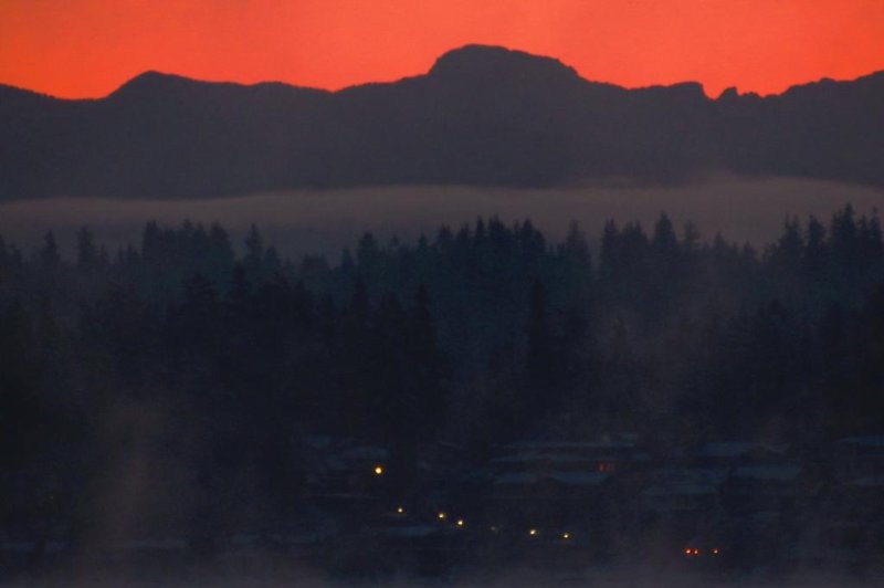
Steam fog rises off Lak Washington Sunday morning when temperatures dropped to record lows throughout the state. Photo courtesy National Weather Service
Feb. 10 (UPI) -- Despite having been hit with record levels of snow this weekend, Washington state is bracing Sunday night as more snowstorms are expected early this week.
Since Friday afternoon, between 6 to 10 inches of snow has battered some areas of the state, with Seattle-Tacoma International Airport receiving 7.9 inches of snow, more than it receives in an entire winter, The Seattle Times reported.
February 2017 was the last time Seattle saw a storm of this magnitude when the airport received 7.1 inches, according to AccuWeather.
The intensity of the storm caused Gov. Jay Inslee to declare a state of energy Friday evening.
Since then, hundreds of flights have been canceled, a 20-mile segment of Interstate 90 has been closed in central Washington and 60,000 people have lost power.
It also caused for temperatures to drop to record lows throughout the state Sunday, many of which had stood for three decades, the National Weather Service said.
The airport dropped to a low of 21 degrees, three degrees lower than the previous record set in 1982. Olympia hit 5 degrees, which obliterated the old record of 15 degrees also set in 1982. Bellinghman was 15 degrees, 5 degrees colder than the 1994 record of 20 degrees. And Seattle set a new record of 18 degrees compared to the 2001 record of 26.
Now that the worst had seemed to be over, Washington is expected to be battered with more winter weather with Puget Sound to be hit with two more systems by Tuesday, causing an additional 6-8 inches of snow to be dumped on the area.
"What's causing this is an east-northeast wind, funneling cool air down from Canada, plus a little lift and moisture off the Pacific and a big trough (an extended zone of low air pressure) over the whole Pacific Northwest right now," meteorologist Jeff Michalski said in a phone interview Sunday with the Seattle Times.
Over Sunday night, Seattle could receive an additional 1-2 inches, according to AccuWeather.
And then through Monday afternoon to Tuesday, it could see 3-6 more inches, potentially causing travel disruptions.
For Monday, school districts near Puget Sound have already canceled classes and government has canceled all hearings.
The University of Washington has also announced on Twitter that classes will be suspended Monday.
"The snowstorm spanning Friday night to Saturday morning was the second of this month in Seattle," said AccuWeather Senior Meteorologist Brett Anderson.
"Now the city will experience a third and then a fourth storm into early week. I do not remember a pattern like this."
Seattle typically receives about 7 inches of snow annually. By only the middle of this week, it could see over 14 inches, becoming the snowiest winter since 2008-9 when the airport saw some 22 inches of snow.


