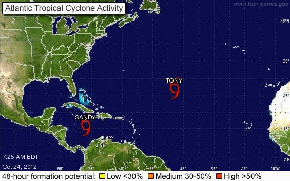
MIAMI, Oct. 24 (UPI) -- Hurricane Sandy crossed Jamaica and approached Cuba Wednesday and could reach Category 2 status before landfall, forecasters said.
Tropical storm warnings were issued for Haiti and the east coast of Florida from Ocean Reef to Sebastian Inlet, as well as Lake Okeechobee. Hurricane warnings were in effect for Jamaica and parts of Cuba and the Bahamas, the National Hurricane Center in Miami said in its 11 p.m. EDT advisory.
Sandy, packing 90 mph winds, was 100 miles north-northeast of Kingston, Jamaica, and 85 miles southwest of Guantanamo, Cuba, heading north at 13 mph. Hurricane-force winds extended 30 miles from the center, and tropical storm-force winds extended 140 miles.
The storm was expected to move northward with an increase of forward speed through Thursday, then turn to the north-northwest with a decrease in forward speed Friday. The forecast track shows the center of the hurricane moving over eastern Cuba tonight and reaching the Bahamas Thursday into Friday.
Sandy was expected to dump 6 to 12 inches of rain across Jamaica, Haiti, the Dominican Republic and eastern Cuba, with 20 inches possible in isolated areas. Flash floods and mudslides were likely, especially in mountainous areas, forecasters said.
In the Bahamas, Sandy was expected to produce 3 to 5 inches of rain, with 12 inches in some areas. The Florida Keys and southeast Florida can expect 1 to 3 inches of rain, forecasters said.
A storm surge was expected to raise the tide 3 feet along the southern and eastern coasts of Jamaica and 3 to 5 feet in southeastern Cuba. In the Bahamas, tide levels are expected to be 5 to 8 feet higher than normal. Parts of the east coast of Florida could see a surge of 1 to 2 feet.