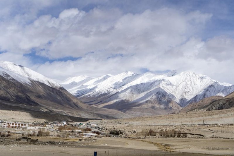
Researchers say that seismological systems could be useful for predicting rockslides in mountain regions where people live. Photo by
yogendras31/Pixabay
Sept. 30 (UPI) -- Seismic forensics could help scientists develop an early warning system for rockslides and floods in the future.
On Feb. 7, 2021, a large rockslide trigged a deadly flood in India's Dhauli Ganga Valley. The rush of water killed more than 200 people and destroyed a pair of hydroelectric power plants.
In a new study, published Thursday in the journal Science, researchers used data from a network of seismometers to piece together the minute-by-minute seismic signatures of the rockslide and subsequent flood.
Although scientists have yet to determine what exactly triggered the catastrophe, they know that just after 10:20 in the morning, local time, 20 million cubic meters of ice and rock plunged down the slopes Ronti Peak, a mountain glacier, and into the Ronti Gad River.
The rockslide's first seismic signature was recorded at 10:21 am and 14 seconds local time. Less than a minute later, the mass of rock and ice hit the valley floor. The impact produced a rumble the equivalent of a magnitude 3.8 earthquake.
Seismic data suggests the rockslide was traveling in excess of 60 miles per hour when it first reached the bottom of the river valley. As it flowed downstream, it slowed to less than 25 miles per hour.
Just more than half an hour after the initial rockslide, the rush of water displaced by the barreling mass of rock and ice reached a bridge in Joshimath where sensors measured a 52-foot-increase in water levels.
Further downstream, instruments at the Chinka gauge station registered a 12-foot increase in water levels.
Using the seismic data, researchers divided the catastrophe into three phases: the initial rockslide and impact; the subsequent rush of mud, rocks and water, which moved like a wall down the river valley; and finally the prolonged flow of flood waters.
"The data from seismic instruments are suitable as a basis for an early warning system that warns of the arrival of such catastrophic debris flows," study author Niels Hovius, acting scientific director of the GFZ German Research Center for Geosciences, said in a press release.
The effectiveness of a seismic warning system depends on a variety of factors, such as the location of the initial rockslide and the speed at which the wall of material is traveling.
Most importantly, there must be a dense network of seismometers, increasing the odds that a seismometer upstream recognizes the threat before it strikes a population center downstream.
The bridge where water levels rose 52 feet was located 22 miles downstream from the initial landslide.
"That means people in and around Joshimath could have received a warning about half an hour before the flood arrived," said first author Kristen Cook of GFZ.
One of the reasons warning systems aren't already in operation is that seismic measuring stations are configured differently depending on the type of phenomena they were set up to study.
"The problem is the different requirements for seismic measuring stations, which make many stations in our worldwide and regional earthquake networks less suitable for detecting rockfalls, debris flows or major floods," said co-author Fabrice Cotton.
"At the same time, stations that aim to monitor floods and debris flows in their immediate vicinity don't help as well in detecting events at a distance," said Cotton, head of the Section Seismic Hazard and Risk Dynamics research group at GFZ .
With more and more people relying on hydroelectricity, and rivers increasingly vulnerable to flooding, especially across the Himalayas and Tibetan Plateau, the need for an early warning system has become especially urgent.
"Given that catastrophic floods are also likely to become more frequent under a warming climate, driving rapid glacier retreat and precarious ponding of melt water in high locations, future risks will grow even further," Hovius said.
Researchers hope future analysis will reveal strategies for reconfiguring seismic stations to anticipate rockslide and floods, while still monitoring more distant tectonic activity.


