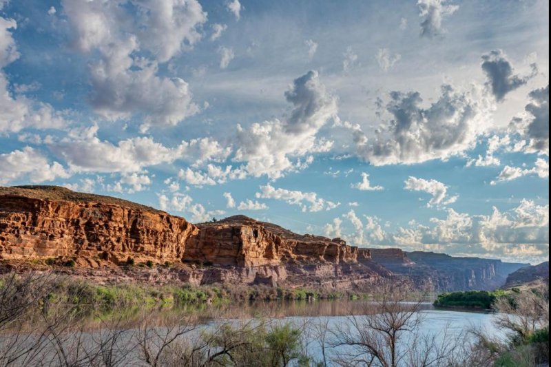
Millions of people depend on the Colorado River for drinking water. Photo by Stephen Walker
Oct. 9 (UPI) -- By analyzing what researchers call "long-term ocean memory," scientists have been able to identify connections between flow rates in the Colorado River and sea surface temperatures in parts of the Pacific and Atlantic oceans.
The breakthrough analysis -- described Friday in the journal Communications Earth and Environment -- allowed scientists to develop a forecasting model capable of predicting the Colorado River water supply on multi-year timescales.
The Colorado River, the most important water resource in the West, is essential to energy production, food and drinking water security, forestry and tourism in California, Arizona, New Mexico, Colorado and Utah.
Access to more accurate long-term forecasting models could aid water resource management decisions.
"Using our tool we can develop an operational forecast of the Colorado River's water supply," lead study author Yoshimitsu Chikamoto, assistant professor of earth systems modeling at Utah State University, said in a news release.
Current forecasting models for predicting droughts and Colorado River flow are over-reliant on short-term weather patterns. The models are easily skewed by short-term weather phenomena -- a big storm or an especially dry couple of months, for example.
"This new approach is robust and means that water managers, for the first time, have a tool to better estimate water supply in the Colorado River for the future," said study co-author Robert Gillies, director of the Utah Climate Center and professor at Utah State University. "The model can be run iteratively so every year a new forecast for the next three years can be created."
A two to three year lead on water flow and drought forecasts can allow farmers to make important decisions on crop rotations.
To build their model, scientists used their ocean memory analysis to draw connections between sea surface temperature and subsequent atmospheric effects. Next, researchers accounted for the influence of land systems on precipitation patterns -- including soils, groundwater, vegetation and snowpack.
Because the upper basin of the Colorado River isn't located in the Southwest, forecasters have previously failed to account for the influence of climate pattern El Niño and La Niña on Colorado River flow.
The new predictive model accounts for a complex array of natural phenomena: currents, water mixing and heat exchange in the ocean; clouds and aerosols in the atmosphere; and surface characteristics across the West's semi-arid landscape.
In addition to aiding the decision making of farmers and water resource managers, the new model could used to inform preparations for future wild fire seasons.


