Advertisement

Satellites tested as method of counting whales, estimating populations

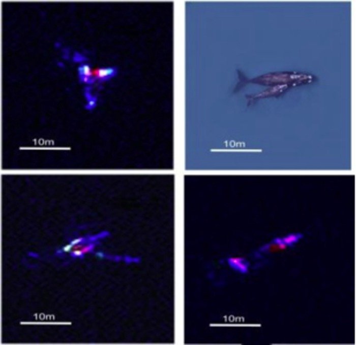
This is a satellite versus aerial view of southern right whales. Credit: British Antarctic Survey, CC-BY

SOUTHAMPTON, England, Feb. 13 (UPI) -- Satellites can be used to count whales and ultimately estimate their population size in a significant improvement over current methods, British researchers say.

In a study in the journal PLoS One, lead author Peter Fretwell of the British Antarctic Survey described using high-resolution satellite imagery, combined with image processing software, to automatically detect and count whales breeding in the Argentine Patagonia region.
Advertisement

"This is a proof of concept study that proves whales can be identified and counted by satellite," Fretwell said. "Whale populations have always been difficult to assess; traditional means of counting them are localized, expensive and lack accuracy. The ability to count whales automatically, over large areas in a cost-effective way will be of great benefit to conservation efforts for this and potentially other whale species."

The researchers used a WorldView2 satellite image of a bay where southern right whales gather to calve and mate. Driven to near extinction, their population size is now unknown but a sharp increase in calf mortality means accurate estimates are urgently needed, they said.

Whales in the image were manually identified and counted, finding 55 probable whales, 23 possible whales and 13 sub-surface features, they said, then several automated methods were tested against these numbers.

Advertisement

Future satellite platforms will provide even higher quality imagery and will allow for greater confidence in identifying whales and differentiating mother and calf pairs, the researchers said.

Latest Headlines