Advertisement

Strengthening Typhoon Hagupit takes aim at Philippines

Hagupit is expected to hit the island of Yap Wednesday night local time and residents were warned of torrential rain, damaging winds and rough waves.

By Danielle Haynes
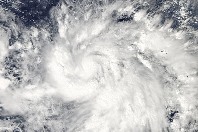
Typhoon Hagupit could hit southern and central Philippines later this week. Photo courtesy NASA Goddard MODIS Rapid Response.

MANILA, Dec. 2 (UPI) -- Hagupit strengthened into a typhoon Tuesday just in time for it to take aim at the Philippines, meteorologists said.

The storm, which as of Tuesday evening was situated about 532 miles south of Andersen Air Force Base in Guam, had maximum sustained winds up to 80 miles per hour with gusts up to 105 miles per hour. It is moving 19.5 miles per hour to the west.
Advertisement

Hagupit is expected to hit the island of Yap Wednesday night local time and residents were warned of torrential rain, damaging winds and rough waves.

After Wednesday, the storm could take two different paths, one leading more westerly toward southern or central Philippines.

"If the storm takes the track into the Philippines, the impacts will be potentially very severe with widespread flooding, damaging winds, storm surge and pounding surf," AccuWeather.com meteorologist Anthony Sagliani said.

The second scenario would be less dangerous for the Philippines, leading the typhoon into the Northwest Pacific Ocean.

Regardless of its path, the typhoon could intensify into a super typhoon later this week. That means it could reach maximum sustained winds of at least 111 miles per hour. That's the equivalent of a Category 3, 4 or 5 Atlantic hurricane, according to the Hurricane Research Division of the Atlantic Oceanographic & Meteorological Laboratory.

Advertisement

Latest Headlines