Advertisement

Northeast braces for arctic temperatures after bomb cyclone

By Sara Shayanian
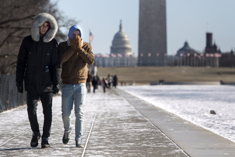
Tourist cover up from cold weather as they walk on the National Mall as the nation's capital is hit by another day of fridge temperatures, in Washington, D.C. on Friday. Photo by Kevin Dietsch/UPI
1 of 10 | Tourist cover up from cold weather as they walk on the National Mall as the nation's capital is hit by another day of fridge temperatures, in Washington, D.C. on Friday. Photo by Kevin Dietsch/UPI | License Photo

Jan. 5 (UPI) -- Although the bomb cyclone that buried the east coast in snow is gone, brutal cold temperatures and powerful winds are expected Friday into the weekend.

The cold blast moving behind the storm from the Midwest to the Southeast and Northeast will deliver temperatures plunging as low as single digits during the day and below zero at night. Saturday is expected to be the coldest day.
Advertisement

Temperatures could be as low as -15 degrees in New York and -25 degrees in Boston over the weekend with wind chill.

Miami, Fla. saw temperatures in the 30s Friday morning, with a frost advisory posted just outside of the usually warm city.

"This is chilly, chilly stuff," Brian Hurley, a meteorologist with the National Weather Service's Weather Prediction Center in College Park, Maryland, said.

The powerful storm was a result of bombogenesis, known as a "bomb cyclone," which is defined by the National Oceanic and Atmospheric Administration as a "midlatitude cyclone that rapidly intensifies" and "can happen when a cold air mass collides with a warm air mass, such as air over warm ocean waters."

Advertisement

The storm wrecked havoc on the east coast, with 17 killed due to severe weather. Six deaths were reported in Wisconsin, four in Texas, three in North Carolina and one each in Michigan, Missouri, North Dakota and Virginia.

The storm, which began two days ago in the Gulf of Mexico and first struck the Florida Panhandle, left more than 7,800 people without power in five states -- a cause for major concern as temperatures are expected to drop dangerously low on Friday and through the weekend.

Hurricane-force winds accompanied the storm, with the strongest wind recorded on the island of Nantucket, Massachusetts, at 76 mph. Block Island, off the coast of Rhode Island, saw a gust of 71 mph.

A warm up is expected beginning next week, as the the NOAA Climate Prediction Center is forecasting above normal temperatures from Jan. 13 to Jan. 26 nationwide.

Latest Headlines