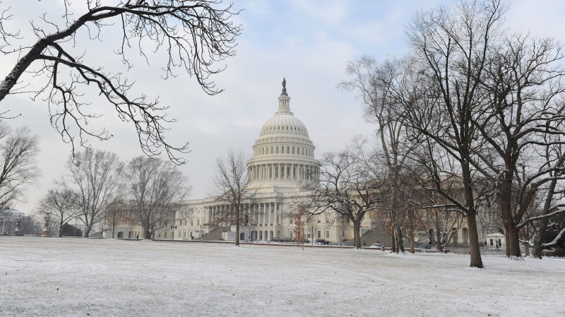
The West Front of the Capitol is seen covered in a light dusting of snow after an overnight storm hit the Washington Metropolitan Area, in Washington, D.C. on January 24, 2013. UPI/Kevin Dietsch |
License Photo
STATE COLLEGE, Pa., Feb. 5 (UPI) -- Some U.S. cities have seen an average amount of snowfall for midway through winter, while others are still below mark, AccuWeather.com reported Monday.
Areas like the Appalachians, parts of the Great Basin and the interior South Central states are on track for normal snow accumulations this winter.
St. Louis has had 9 inches of snow as of Sunday, and normally sees 11.3 inches as of the same date in a normal season; Huron, S.D., has 20.9 inches of its normal 24.4 inches; and Elkins, W.Va., has 46.7 inches of its normal 49 inches, Accuweather reported.
Meanwhile, many cities are seeing a repeat of last year's lower snow totals.
Buffalo, N.Y., had only 36.9 inches of snow as of Sunday, down from its normal of 63.7 inches at the same point in a season; Washington, D.C., has had 1.5 inches, down from its normal of 9.1; and Chicago has had 6 inches, down from its normal of 21.9.
The lack of snow in some East Coast cities can be attributed to fewer cold storms advancing northward just offshore, Accuweather reported. Storms that would normally provide snow to areas in the Midwest from St. Louis to Chicago are tracking just to the north, south, east and west, leaving a hole in the middle with less snow than normal.
Some cities, like Salt Lake City, Dallas, and Little Rock, Ark., have seen a higher than normal amount of snow this winter.


