Advertisement

USGS surveys Afghan natural resources

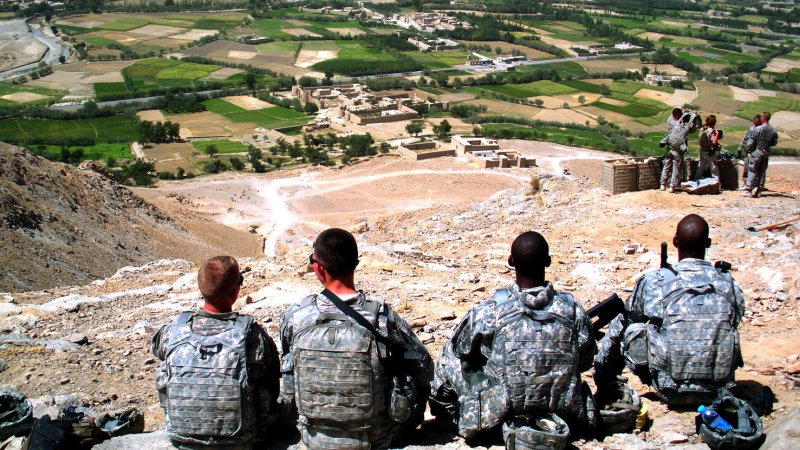
U.S. Army Soldiers rest atop a hill in Logar, Afghanistan on September 8, 2009. UPI/Wayne Gray/U.S. Army
U.S. Army Soldiers rest atop a hill in Logar, Afghanistan on September 8, 2009. UPI/Wayne Gray/U.S. Army | License Photo

WASHINGTON, July 18 (UPI) -- Roughly 70 percent of Afghanistan was mapped for natural resources, particularly minerals, using remote sensing, the U.S. Geological Survey announced.

The U.S. Defense Department and the USGS said for the first time, about 70 percent of Afghanistan was surveyed using a technique called hyperspectral imaging.
Advertisement

Jim Bullion, director of a Defense Department task force, said the mapping would help the Afghan government asses its mineral deposits.

"These maps clearly show the enormous size and variety of Afghanistan's mineral wealth and position the country to become a world leader in the minerals sector," he said in a statement.

USGS said light reflected from the surface can be used to determine the difference between vegetation, snow or minerals.

U.S. defense officials estimated in 2010 that there could be as much as $1 trillion worth of iron, copper, cobalt, gold and lithium in Afghanistan.

A 2007 survey found an estimated 1.5 million metric tons of potential rare earth resources in southern Afghanistan. The international community gets more than 95 percent of its rare earth minerals from China.

Afghan officials said production of iron ore deposits in Bamyan province could begin in 2015.

Advertisement

Latest Headlines